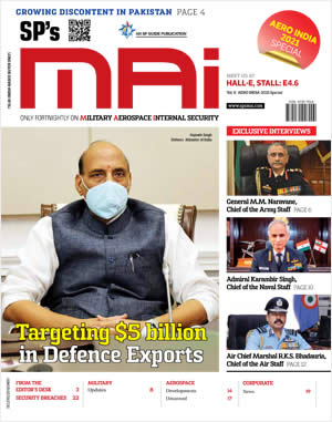
INDIAN ARMED FORCES CHIEFS ON
OUR RELENTLESS AND FOCUSED PUBLISHING EFFORTS
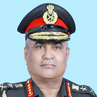
SP Guide Publications puts forth a well compiled articulation of issues, pursuits and accomplishments of the Indian Army, over the years
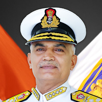
I am confident that SP Guide Publications would continue to inform, inspire and influence.
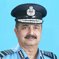
My compliments to SP Guide Publications for informative and credible reportage on contemporary aerospace issues over the past six decades.
- Prime Minister witnesses 'Bharat Shakti' – a Tri-Services Firing and Manoeuvre Exercise in Pokhran, Rajasthan
- Interim Defence Budget 2024-25 — An Analysis
- Union Defence budget 2024
- Prime Minister Modi Commemorates Indian Navy Day in a Grand Ceremony
- Prime Minister Modi Flies in the LCA Tejas
- New Chapter in India-Italy Defence Ties
- Airpower beyond Boundaries
GeoIntelligence Asia 2012

The sixth edition of the annual GeoIntelligence Asia conference-cum-exhibition organised by Geospatial Media and Communications saw the participation of more than 350 delegates including many officers of the Indian defence services. The twoday conference on “Building a Credible GeoIntelligence Infrastructure for Defence and Internal Security”, was organised in association with DRDO Labs (CAIR, DEAL, DTRL, ISSA, SASE), Indo Tibetan Border Police and Central Reserve Police Force on June 14 and 15.
Delivering the inaugural address, Lt General K. Surendra Nath, GOC-in-C, Army Training Command (ARTRAC), said, “Geospatial technology revolution will continue at a faster pace in future—Geospatial lies at the core of all future wars.” Shankar Agrawal, Additional Secretary in the Ministry of Defence, explained, “Technology is changing the nature of wars. Due to advancement in IT and migration towards command, control, communications and computers, intelligence, surveillance and reconnaissance (C4ISR) structures, future wars will be fought on digitised battle zones.”
Speaking about the importance of geointelligence in armed forces, Lt General Anil Chait, GOC-in-C, HQ Central Command, Indian Army, said that the lack of accurate intelligence can cost a soldier his life. Representing the industry was John Day, Director of Global Defence, Esri, USA, who spoke about how his company can aid in providing solutions to the Indian security agencies. Lt General A.K.S. Chandele, Managing Editor, GeoIntelligence and Advisor-Conferences, spoke about the gradual power shift that’s taking place in the world today.
Session 1 - GeoTech: Essential requirement of modern warfare
Lt General K. Surendra Nath, GOC-in-C, Army Training Command (ARTRAC), Indian Army, chaired the session. Major General R.C. Padhi, MOGSGS, Military Survey, Indian Army, said, “There is a tremendous requirement for largescale maps. In fact, after the success of the DSSDI project, we are being approached by other states as well,” and added, “We will be able to cater to everyone’s data requirements.” Derek Ireson, Vice President, Defense & Intelligence Solutions Intergraph, USA, spoke about the need to have multi-intelligence data fusion and described data volume, speed and mobility and social media/threat as some of the major intelligence challenges before the security agencies. N.S. Shankaranarayana, Senior Director, DigitalGlobe, spoke about the need to provide online on-demand valueadded images/data.
Session 2 – Building GIS ready intelligent data infrastructure
Lt General Rajesh Pant, MCTE Commandant, Military Headquarters of War (Mhow), who chaired the plenary, said, “GIS plays a pivotal role in military domain. Accurate information with spatial tags is needed for efficient decision-making.” Dr R. Ramachandran, Centre Director, National Technical Research Organisation, explained the importance of data for an efficient geospatial setup. Bryn Fosburgh, Sector President, Emerging economies, Trimble Navigation, USA, deliberated upon how data collection is becoming commonplace, quicker and accurate. Rakesh Verma, Managing Director, MapmyIndia, India, discussed ways in which GIS infrastructure can be built using GIS-ready data, devices and applications. Ashwagosha Ganju, Director, Snow and Avalanche Study Establishment (SASE), India said, “Geoint can enhance the mobility of Army and common man in mountainous regions.”
Session 3 – Collaborative approach to common geo-infrastructure
Lt General (Retd) P.C. Katoch, former DGIS, Indian Army, chaired the session. Mark Reichardt, President, Open Geospatial Consortium, USA, spoke about the importance of interoperability. Manish Choudhary, Managing Director, Pitney Bowes Software India, explained how standardisation can bring evolution in the functioning of an industry. Brigadier (Retd) A.S. Nagra spoke about the importance of seamless collaboration in today’s world. “Geospatial data goes beyond imagery and maps and much beyond what’s available in the public domain,” said Colonel Sunil Mishra, Director, BMS, DGIS, Indian Army.
Technical Sessions
The technical session on ‘Geospatial for Border Management’ was chaired by Major General S.V. Chinawar, Additional Director General Military Survey, Indian Army.
The session on “GIS for Tactical Military Roles-Developers Perspective” was chaired by Major General R.P. Bhadran, ADGIS, Directorate General of Information Systems, Indian Army. Lt General S.M. Mehta, Commandant, MCME, Secunderabad, Indian Army, chaired the session on “Positioning and Navigation”. “Internal security involves protection of people, infrastructure and economy,” said Richard Sundharam, General Manager, Defence, Esri India, during the session on “GIS for Internal Security”.
The session on “Maritime Security” was chaired by Vice Admiral Pradeep Kaushiva, Director, National Maritime Foundation, India. According to the session on “Emerging Trends”, human terrain analysis and cloud are increasingly gaining popularity among the defence forces. The session was chaired by Lt General N.B. Singh, Director General EME, Indian Army.
An exhibition was also organised during the conference. BAE Systems, Bentley Systems, DigitalGlobe, ESRI, GeoEye, Geospatial Media and Communications, Integrated Digital Systems, Intergraph, MapmyIndia (CE Info Systems (P) Ltd), RSI Softech, Survey of India, Trimble, etc participated with their latest technological innovations.


