


The insightful articles, inspiring narrations and analytical perspectives presented by the Editorial Team, establish an alluring connect with the reader. My compliments and best wishes to SP Guide Publications.

"Over the past 60 years, the growth of SP Guide Publications has mirrored the rising stature of Indian Navy. Its well-researched and informative magazines on Defence and Aerospace sector have served to shape an educated opinion of our military personnel, policy makers and the public alike. I wish SP's Publication team continued success, fair winds and following seas in all future endeavour!"

Since, its inception in 1964, SP Guide Publications has consistently demonstrated commitment to high-quality journalism in the aerospace and defence sectors, earning a well-deserved reputation as Asia's largest media house in this domain. I wish SP Guide Publications continued success in its pursuit of excellence.
Without proper and reliable road/track connectivity right up to our frontline posts, we will remain at serious disadvantage at the tactical level
 |
The Author is Former Director General of Information Systems and A Special Forces Veteran, Indian Army |
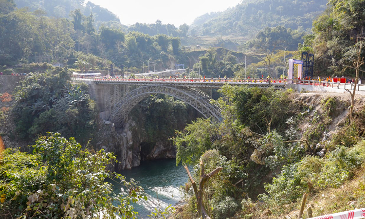
News reports of October 21, 2022 revealed that the 1,800 km �Frontier Highway� proposed by the Ministry of Home Affairs (MHA) along the McMohan Line in Arunachal Pradesh has received a major push after the Ministry of Road Transport and Highways (MORTH) approved six corridors connecting this highway with two parallel highways in the state; the Trans-Arunachal Highway and the Arunachal East-West Corridor. Of the six corridors totaling 2,178 km, 2,053 km is in Arunachal Pradesh.
According to MORTH, the length of the Frontier Highway is about 1,859 km, the DPR for which is being prepared by the ministry, is planned to join Nafra (near Tawang) in the west and Vijaynagar (at the India-China-Myanmar tri-junction) in the east, the Frontier Highway is estimated to cost 40,000 crores.
The Frontier Highway is being viewed as the reply to China�s strategic highway linking Pad township in Nyingchi city and Baibung in Medong County which lies north of Arunachal Pradesh. However, the strategic highway of China has already been completed in 2021, whereas, the Frontier Highway is likely to take many years to complete given the limited working months for construction at that altitude and the weather conditions in that region; MORTH has not yet made public the time schedule for completion of the Frontier Highway.
The Frontier Highway is being viewed as the reply to China�s strategic highway linking Pad township in Nyingchi city and Baibung in Medong County which lies north of Arunachal Pradesh
China�s strategic highway enables faster mobilisation of the Peoples� Liberation Army troops to the McMohan Line. China has also established villages close to the LAC, including one at Longju inside Arunachal Pradesh (covered in these columns earlier) which serve as advanced posts for the PLA. In some places, the proposed Frontier Highway will run as close as 20 km from the LAC.
Media reports quoting MORTH say that presently there are two arterial routes; NH-15 which runs longitudinally along the foothills bordering Assam and Arunachal Pradesh and NH-13/NH-215 called the Trans Arunachal Highways which runs through Arunachal Pradesh from east to west. The NH-15 is already developed to two-lane paved shoulder while the Trans Arunachal Highway is under development for two lanes.
Following was mentioned in these columns in June 2022: construction of 73 strategically important roads totaling 4,643 km length was approved along the China border; of 61 roads totaling 3,323 km assigned to the BRO, full connectivity in all roads would be achieved only by March 2023. The plans for strategic roads need constant review given the Chinese road construction in Tuting area during December 2017 and the Lhasa-Nyingchi railway network completed opposite Tuting in June 2021.
The plans for strategic roads need constant review given the Chinese road construction
In addition are the roads we would need for our own offensive plans, which may be projected for connecting border villages. We should also take into consideration that the Chinese would like to interdict the Manali-Keylong-Leh road during a conflict. Moreover, the 14 strategic railway lines planned to serve the borders with China and Pakistan remain largely on paper and will take years to build.
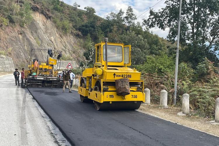
Another important issue is the construction and maintenance of border roads especially when large portions are handed over to the state governments. When the Bogibeel Bridge over Brahmaputra River was inaugurated by Prime Minister Narendra Modi on December 25, 2018, road north of it through Assam (constructed by BRO and handed over to the State Government about two years ago) was in a terrible state. The initial few km through paddy fields without revetments on both sides had caused the road to cave in every 50 metres.
Now news reports of December 21, 2022 have quoted a new study by the Australian Strategic Policy Institute (ASPI) to say that China has upgraded several key access dirt roads and has constructed a 'sealed' road leading from Tangwu New Village to within 150-metre of the LAC ridge-line. Currently, there is also a small PLA camp at the end of this road. With this newly-constructed 'sealed' road leading to Yangtse in the Tawang sector of Arunachal Pradesh, China is deploying soldiers in Tawang more easily than ever. The study says that it was the construction of this new road that enabled Chinese troops to surge upwards to Indian positions during the December 9, 2022 skirmish at Yangtse.
An important issue is the construction and maintenance of border roads especially when large portions are handed over to the state governments
Most importantly, the ASPI study says that Indian defences along the Yangtse Plateau consist of six �relatively small frontline outposts�, who are supplied by a forward base about 1.5 km from the LAC, and these are �not impregnable� to concerted attack. The reason given is that Indian forces based in significant deployments in valleys below the plateau are connected by dirt tracks that are already suffering from erosion and landslides due to steep gradient, environmental conditions and relatively poor conditions (as seen from satellite imagery); because of which these frontline positions can be cut off from resupply in open conflict that can prove decisive.
Finally, the focus required in border infrastructure is the same as for tele/radio communications and data links � last mile connectivity. Without proper and reliable road/track connectivity right up to our frontline posts, we will remain at serious disadvantage at the tactical level. It was also brought out in these columns earlier that many forward metal roads have segments that are �one way traffic� which is not conducive for quick reinforcements. We are making efforts to improve the border infrastructure but we must focus on these finer issues. We are still far behind China�s border infrastructure and China is in a more than aggressive mode.